 how-to
3D Landscape Visualisation: A How-To Guide
Table of Contents
- What 3D Landscape Visualization Actually Does
- Understanding the 3D Landscape Design Process
- How 3D Models Help With Sydney Retaining Walls and Structural Elements
- Virtual Walkthroughs: Eye-Level Perspective vs. Aerial Views
- Material Selection and Texture Visualization
- How 3D Visualization Supports Council Compliance and Approvals
- Cost Estimation and Project Planning From 3D Models
- Frequently Asked Questions
Last Updated: August 19, 2026
What 3D Landscape Visualization Actually Does
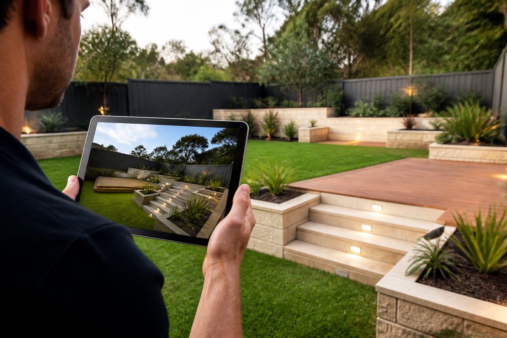
3D landscape visualization is the process of creating a photorealistic digital model of a proposed outdoor space before any physical work begins. It transforms concept drawings and site data into a three-dimensional representation that shows exactly how materials, plants, structures and spatial relationships will look from ground level and from above.
The difference between a 2D sketch and a 3D landscape visualization is profound. A sketch gives you an idea. A visualization gives you certainty. You see how sunlight will fall across a new deck at 3 PM in summer. You understand how a retaining wall will relate to the existing house. You spot design conflicts before construction starts, not after the concrete's been poured.
At FDSS Landscaping Services, we use 3D visualization to bridge the gap between what homeowners imagine and what's actually buildable on their site. It's not just a sales tool, it's a design tool that catches problems early, confirms material choices, and gives builders exact specifications for execution.
A proper 3D landscape visualization includes material texturing (so you see the actual finish of pavers or stone, not generic grey surfaces), accurate topography (the site's slopes and levels matter), and realistic lighting that shows how the space will feel at different times of day. Without these details, you're still guessing.
Understanding the 3D Landscape Design Process
A quality 3D landscape visualization doesn't appear out of nowhere. It's built on a foundation of accurate site data, thoughtful design decisions, and technical modelling. Understanding this process helps you know what to expect and why it matters.
Site survey and analysis
Before any 3D model is created, the landscape designer must understand the physical reality of your site. This means a detailed site survey that captures existing features, levels, soil conditions, drainage patterns, sun exposure, and any structural constraints.
A site survey typically includes measurements of the property boundary, location of existing buildings, trees and hardscape, ground levels across the site, and direction of slope. For properties with retaining walls or significant level changes, survey accuracy becomes critical, a small error in measuring a slope can compound into major design problems.
The site analysis layer interprets this data. Which areas get morning sun versus afternoon shade? Where does water naturally drain? Are there views to preserve or screen? What's the relationship between the house and the outdoor areas? This analysis informs every design decision that follows.
Concept development and elevation plans
Once the site is understood, the designer develops a concept, a spatial plan that shows how the outdoor space will be organized. This includes zones for entertaining, planting areas, pathways, and structures like decking or retaining walls.
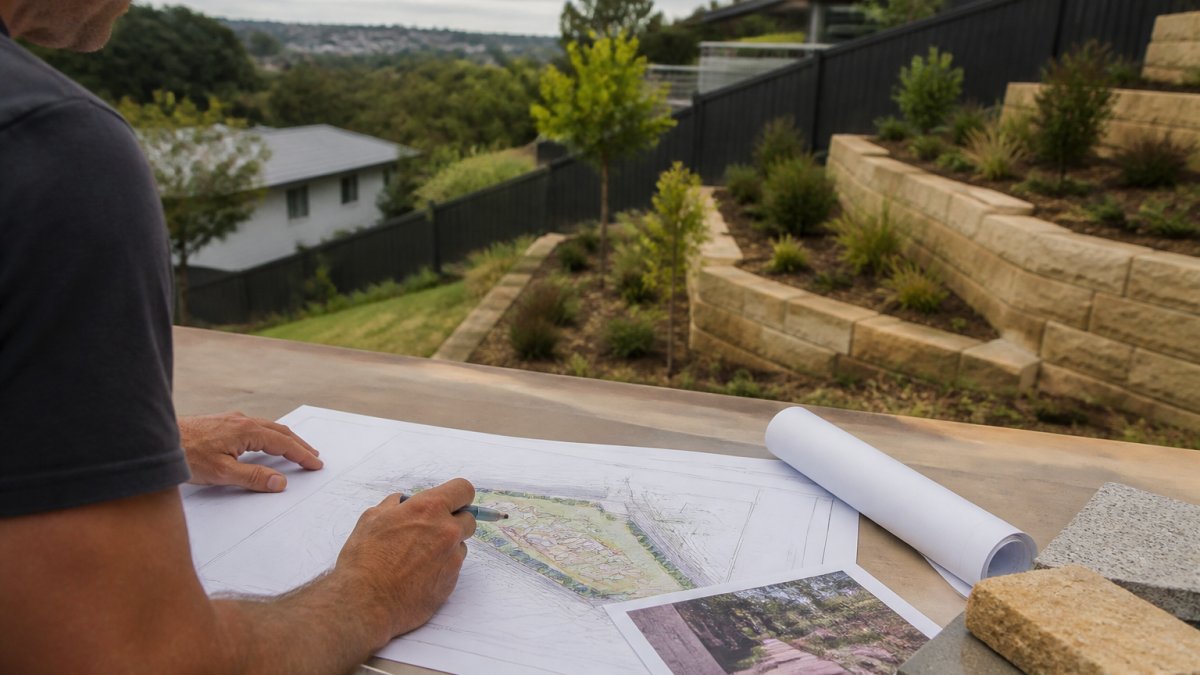
Elevation plans are then created to show how the design looks from different viewpoints. An elevation plan shows the vertical profile of the landscape, how tall the retaining wall will be relative to the house, how the deck height relates to the doors, where plantings will screen views. These drawings are essential for understanding scale and proportion before 3D modelling begins.
Concept development and elevation planning also flag engineering requirements. If you're building a retaining wall over a certain height, structural engineering is required. If drainage needs to be managed, that's designed now, not discovered later.
3D modelling and photorealistic rendering
Once the concept and elevations are approved, the 3D model is built. This involves digitally constructing the site geometry, placing design elements (walls, decking, planting beds), and applying material textures and finishes.
Photorealistic rendering is where the model becomes visually convincing. Each material, sandstone pavers, timber decking, rendered concrete, plants at various growth stages, is assigned properties that determine how light reflects off it. The renderer calculates lighting from the sun's actual position at specific times of day, creating shadows, highlights, and colour that match reality.
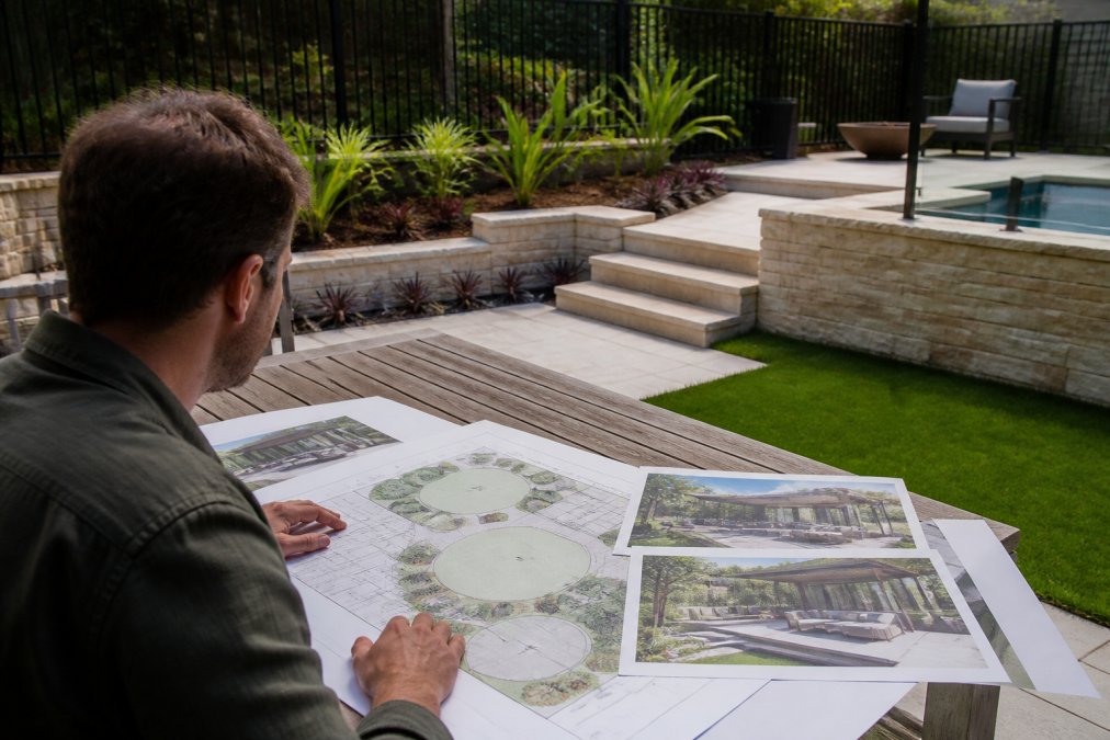
A quality 3D landscape visualization includes multiple views: eye-level perspectives that show how the space feels when you're standing in it, and aerial or plan views that show spatial relationships and overall layout. Some visualizations include virtual walkthroughs that let you move through the space digitally.
The technical requirements for a professional 3D model include accurate site geometry (topography and existing features), precise placement of design elements with correct dimensions, realistic material libraries (not generic placeholders), and rendering at sufficient resolution to show detail without appearing artificial.
How 3D Models Help With Sydney Retaining Walls and Structural Elements
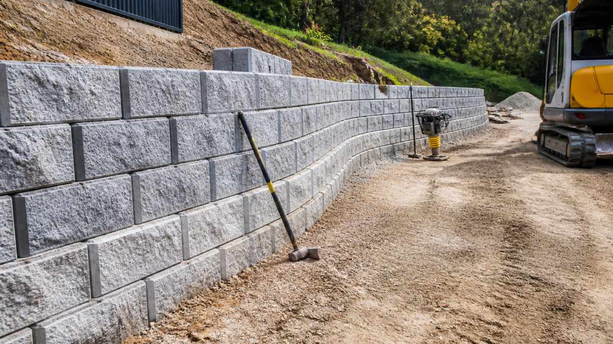
Retaining walls are among the most complex landscape features to visualize accurately. They're not just visual, they're structural. They hold back earth, manage water, and define spatial relationships. A 3D model that gets the scale, angle, and material finish wrong can lead to costly design changes during construction.
A 3D visualization of a retaining wall shows you exactly how high it will appear from the house, how it will relate to existing trees and features, and how the material finish will weather over time. If you're considering rendered concrete versus natural stone, the visualization lets you see both options and compare how they feel in the space.
The 3D model also supports the engineering process. Structural engineers need to understand the wall height, the soil conditions behind it, and the drainage strategy. A detailed 3D model that includes cross-sections and material specifications gives them the information they need to design a wall that will perform reliably for decades.
For properties with significant level changes, common in areas like Baulkham Hills, Castle Hill, and Glenhaven, a 3D visualization is essential. It shows how multiple retaining walls, if needed, will work together. It clarifies how pathways and stairs will connect different levels. It prevents the design from looking awkward or disconnected.
Virtual Walkthroughs: Eye-Level Perspective vs. Aerial Views
Two viewing modes dominate 3D landscape visualization: eye-level perspective and aerial view. Each serves a different purpose, and the best visualizations include both.
An eye-level perspective shows the space as you'll actually experience it when standing in the garden. You see how a deck feels, is it intimate or exposed? How tall does the retaining wall appear? Where do sightlines go? This perspective is crucial for understanding spatial experience, proportions, and how materials will look at human scale.
Aerial or plan views show the overall layout and spatial organization. They're essential for understanding how zones connect, how pathways flow, and how the design relates to the house and property boundaries. An aerial view makes it obvious if a planting bed is too narrow or if a deck is positioned awkwardly relative to doors and sightlines.
The most useful 3D landscape visualization includes both. The eye-level views let you feel the space. The aerial views let you verify the logic and proportions of the design. Together, they give you complete confidence in how the finished project will work.
Virtual walkthroughs, where you can move through the 3D model and view it from multiple angles, are becoming more common. They're particularly valuable for larger projects or complex sites where understanding spatial flow matters. A walkthrough shows you how the space unfolds as you move through it, which static images can't fully convey.
Material Selection and Texture Visualization
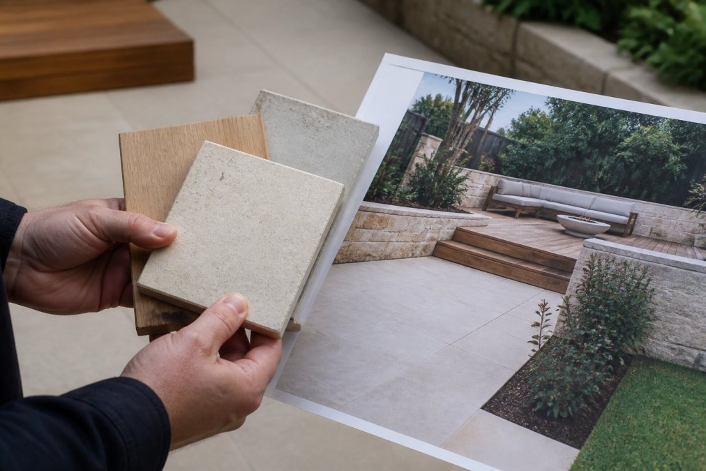
One of the most practical benefits of 3D visualization is the ability to test material choices before committing to them. A retaining wall built from sandstone looks completely different from one built from rendered concrete or timber sleepers. A deck made from treated hardwood has a different character than composite decking. These differences matter, and seeing them in context, in your actual space, is invaluable.
A photorealistic 3D model shows how materials will actually look. Not a generic representation, but the specific finish, colour, and texture of the materials you're considering. If you're choosing between two types of paving, the visualization shows both options in place, under the same lighting, so you can compare them directly.
Texture visualization also helps you understand how materials will weather and age. Some materials develop character over time, timber weathers to silver-grey, stone develops patina. A quality visualization can show this progression, helping you understand what the space will look like in five years, not just on completion day.
Material choices affect more than aesthetics. They affect maintenance, durability, cost, and how the space feels underfoot and to the touch. A 3D visualization that shows you the actual material finish, not a placeholder, gives you the information you need to make choices you'll be happy with long-term.
How 3D Visualization Supports Council Compliance and Approvals
Council approvals for landscape projects depend on clear, accurate information about what you're proposing. A detailed 3D model, combined with engineering drawings and site plans, gives councils exactly what they need to assess compliance.
For retaining walls, councils need to understand the wall height, materials, drainage strategy, and how it affects neighbouring properties. A 3D visualization that shows the wall in context, along with cross-sections and engineering specifications, makes the approval process clearer. Vague sketches or verbal descriptions often lead to requests for more information, delaying approval.
For other landscape features, decking, pergolas, significant earthworks, councils may require documentation of how the design affects drainage, site stability, and neighbouring properties. A 3D model that clearly shows the proposed design, grades, and drainage patterns supports faster, smoother approvals.
The specific requirements depend on your local council and the nature of your project. Councils in areas like Norwest, Kellyville, and Rouse Hill have different standards and approval processes. A landscape designer experienced in your area knows what councils expect and can ensure your 3D model includes the information needed for approval.
Cost Estimation and Project Planning From 3D Models
A detailed 3D model is also a planning tool for construction. It shows exactly what needs to be built, in what order, and what materials are needed. This clarity reduces the risk of costly surprises during construction.
From a 3D model, a builder can generate accurate material takeoffs, how many pavers, how much soil, how many plants, how much concrete. These takeoffs form the basis of accurate budgeting. A vague design might lead to underestimated material quantities and budget overruns. A detailed 3D model prevents this.
The 3D model also helps sequence construction logically. What needs to be done first? Where should excavation start? How should materials be staged on site? A clear visual understanding of the finished design makes construction planning more efficient and reduces the likelihood of rework.
For larger projects, particularly those involving structural elements like retaining walls, significant earthworks, or complex drainage, a 3D model is essential for accurate project planning. It shows the builder exactly what's expected, reduces ambiguity, and supports faster, more efficient construction.
At FDSS Landscaping Services, we use 3D models to develop accurate project timelines and material specifications. This gives you certainty about what the project will involve and helps us deliver on schedule and budget.
A 3D landscape visualization transforms the design process from guesswork into a data-driven, visual conversation. You see exactly what you're building before construction starts. You test material choices without risk. You understand how the space will feel and function. You catch design problems early, when they're cheap to fix.
If you're planning a landscape project in The Hills District or North-West Sydney, whether it's a complete garden renovation, a new retaining wall, or an outdoor living area, a professional 3D visualization is the clearest way to move from concept to reality with confidence.
Get in touch with FDSS Landscaping Services to discuss your project. We'll conduct a comprehensive site survey, develop a design concept, and create a detailed 3D visualization that shows exactly what's possible on your site. From there, we'll manage the entire construction process, ensuring the finished landscape matches the vision we've created together.
Frequently Asked Questions
What are the main benefits of 3D landscape visualization for my project?
3D landscape visualization lets you see your finished design before construction begins. You can evaluate how hardscaping, softscaping, retaining walls and outdoor living zones work together, identify potential issues early, and make confident decisions about materials and layout. For council approvals, a photorealistic 3D model demonstrates your design intent clearly and can speed up the consent process. Most importantly, it reduces costly changes during construction.
How does 3D design help with planning retaining walls and structural landscaping?
3D models show exactly how retaining walls integrate with your garden, decking and paving at every angle. You can visualize the wall's height, proportion and material finish in context, check sight lines and drainage flow, and confirm the design meets structural requirements. This is particularly valuable for sloped sites where wall placement and scale are critical. Your designer can adjust wall positioning, materials and finishes virtually before construction, ensuring the structural elements enhance rather than dominate the landscape.
Can 3D landscape visualization help with council approvals?
Yes. Local councils in the Greater Sydney region often request detailed visual representations of proposed landscaping, particularly for retaining walls, drainage and significant earthworks. A photorealistic 3D model demonstrates compliance with setbacks, height limits and neighbour amenity considerations more effectively than flat drawings alone. It shows how your design respects the site's topography and surrounding context, which councils value when assessing development applications.
What information do I need to provide before a 3D landscape visualization can be created?
Your designer will need a site survey showing existing levels, dimensions, trees and structures; details of your lifestyle and how you plan to use the outdoor space; material and colour preferences; budget parameters; and any council requirements or constraints specific to your property. The more information you provide upfront about sun path, views, privacy concerns and functional zones, the more accurate and useful your 3D model will be.